
Phiên bản mới nhất
Phiên bản
560
560
Cập nhật
tháng 7 08, 2025
tháng 7 08, 2025
Nhà phát triển
CyberTracker Conservation
CyberTracker Conservation
Danh mục
Finance
Finance
Nền tảng
Android
Android
Lượt tải
0
0
Giấy phép
Free
Free
Tên gói
org.cybertracker.mobile.sm
org.cybertracker.mobile.sm
Báo cáo
Báo lỗi
Báo lỗi
Tìm hiểu thêm về SMART Mobile for Conservation
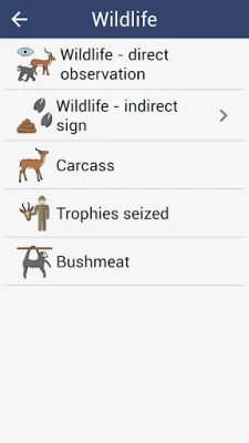
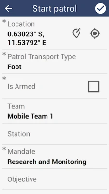
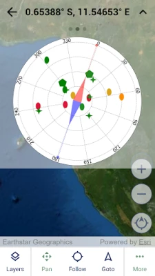
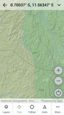
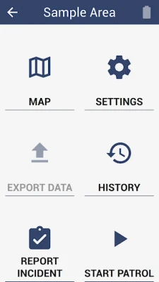
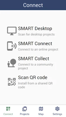
SMART (Spatial Monitoring and Reporting Tool) is designed to capture data in conservation protected areas. It includes full support for online and offline usage, including offline field maps.
To use this app, you must be a user of one or more of SMART.
SMART Mobile captures GPS location and also requires background location usage for tracks. More information can be found at https://cybertrackerwiki.org/privacy-policy.
SMART Mobile captures GPS location and also requires background location usage for tracks. More information can be found at https://cybertrackerwiki.org/privacy-policy.
Đánh giá ứng dụng
Thêm bình luận & đánh giá
Đánh giá người dùng
Dựa trên 0 đánh giá
Chưa có đánh giá nào.
Bình luận sẽ không được duyệt nếu là SPAM, lạm dụng, lạc đề, dùng từ ngữ thô tục, công kích cá nhân, hoặc kích động thù ghét.


Xem thêm »

Ứng dụng phổ biến

VNeIDTrung tâm dữ liệu quốc gia về dân cư

Adobe Scan: Quét tài liệu, ảnhAdobe

MessengerMeta Platforms, Inc.

Rakuten Viber MessengerViber Media

WhatsApp BusinessWhatsApp LLC

YouTubeGoogle LLC

FacebookMeta Platforms, Inc.

ASICS Runkeeper - Run TrackerASICS Runner App Inc.

ESET Parental ControlESET

Duolingo: Học ngoại ngữDuolingo
Xem thêm »
Lựa chọn của biên tập viên
Adobe Scan: Quét tài liệu, ảnhAdobe

YouTube Kids 5Google LLC
YouTubeGoogle LLC
Duolingo: Học ngoại ngữDuolingo
VNeIDTrung tâm dữ liệu quốc gia về dân cư

Zalopay Thanh Toán Tích ThưởngZION JOINT STOCK COMPANY

ZaloZalo Group
FacebookMeta Platforms, Inc.
Rakuten Viber MessengerViber Media
WhatsApp BusinessWhatsApp LLC